

 By admin
Getting around Singapore is easier when you know which train line, bus service or interchange to use. The Singapore Transport Map helps you understand the MRT and LRT network, locate stations and plan connections across the island. For a complete journey, you may also need a bus route planner or a street map to check the distance between a station and your destination.
Singapore’s transport information is available through official resources such as the Land Transport Authority (LTA), SimplyGo, OneMap and MyTransport.SG. Each serves a slightly different purpose, so using the right one can save time and reduce confusion.
TL;DR: Singapore Transport Map at a Glance
- MRT and LRT lines: Use the official LTA rail map to identify stations, line colours and interchanges.
- Bus routes: Check bus service numbers, stops and connections through SimplyGo or MyTransport.SG.
- Fares: Refer to the Public Transport Council’s latest fare table.
- Street navigation: Use OneMap to check walking distances and nearby locations.
- Journey planning: Compare travel time, transfers and the walk to your final destination before leaving.
A rail map shows how train lines connect; a geographic map helps you understand where places are in relation to one another.
Singapore Transport Map (2026): Official Maps and Downloads
The official place to start is the LTA MRT/LRT map. It shows Singapore’s rail network, station names, line connections and interchange points. If you are searching for a Singapore MRT Map PDF, check the current official map page for the available viewing or download options before saving a copy.
There is a difference between a schematic Singapore Train Map and a street map. A schematic map prioritises the order of stations and connections rather than showing exact geographical distances. Two stations may look close on a rail diagram even when the actual journey involves a longer route or a walk between exits.
For everyday travel, use the latest available version of the Singapore Transport Map 2026 rather than relying on an old screenshot. New stations, extensions and service changes can affect route choices. An outdated map may also omit a recently opened interchange or show an incomplete line.
If you save a map for offline use, check its publication or update information first. Keep a journey-planning app available as well, especially when you need current service alerts, travel times or bus information.
How to Read the Singapore MRT Map
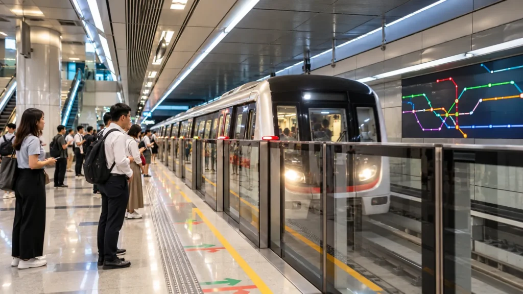
The Singapore MRT Map uses different colours to distinguish train lines. Follow the colour and official line name to trace your journey between stations. Station names help you identify where to board and alight, while station codes can make it easier to confirm that you have selected the correct stop.
Interchange stations are places where passengers can transfer between different rail lines. On the map, look for a station served by more than one line. Before travelling, confirm the line and direction you need rather than following a colour alone.
To find the nearest MRT station to a destination, search for the destination on a geographic map or journey planner. Then compare nearby stations and check the walking distance from each one. The closest station on a map is not always the most convenient entrance.
The shortest rail route may not be the quickest overall journey, either. A route with fewer train stops could involve a long walk, while a route with one extra stop may place you closer to your destination. Check transfers, estimated travel time and walking distance together.
Singapore MRT and LRT Lines
Singapore’s Mass Rapid Transit (MRT) system is the main rail network for travelling between residential areas, business districts and popular destinations. The Light Rail Transit (LRT) network provides additional connections within selected residential towns.
The main MRT lines include:
| MRT line | Common use |
|---|---|
| East-West Line (EWL) | Cross-island travel between the western and eastern parts of Singapore, including connections towards the airport area |
| North-South Line (NSL) | Links northern and central areas with important city stations |
| North East Line (NEL) | Connects the north-eastern region with areas such as HarbourFront |
| Circle Line (CCL) | Connects several central and city-fringe areas and provides transfers to other MRT lines |
| Downtown Line (DTL) | Serves central areas and a number of residential neighbourhoods |
| Thomson-East Coast Line (TEL) | Adds north-south and eastern coastal connections, with interchange options across the network |
The network is designed around connections, so you may need to change trains to reach your destination. For example, a passenger travelling from Woodlands to Orchard can use the Thomson-East Coast Line, while a journey between other parts of the island may involve changing at an interchange.
LRT services are useful for local journeys within areas served by the Bukit Panjang, Sengkang and Punggol LRT networks. They connect residential neighbourhoods with nearby MRT stations and other local destinations. Check the station sequence and direction before boarding, particularly on LRT loops where trains may serve different branches.
Always confirm the exact station and line shown on the current map. Network changes can affect which transfer is most convenient.
Singapore Bus Map and Routes
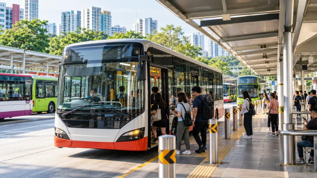
A Singapore Bus Map answers different questions from an MRT route map. It helps you identify bus stops, service numbers, bus interchanges and road-based connections that may not appear on a rail diagram.
Buses are particularly useful when your destination is not close to an MRT station. They can also reduce walking, provide a direct connection between neighbourhoods or take you closer to a shopping centre, school, park or residential block.
When checking Singapore Bus Routes, confirm three details: the bus service number, the direction of travel and the stop where you need to alight. A service may pass through the same road in both directions, so boarding on the wrong side can send you away from your destination.
Bus interchanges are larger facilities where multiple services begin, end or connect. They should not be confused with MRT interchanges, which allow passengers to transfer between train lines.
Use a current journey-planning resource to compare bus and train combinations. A bus may offer a more direct trip, but traffic conditions and waiting time can affect the total journey. If you are unfamiliar with the area, check the walking route from the bus stop to the final address as well.

Singapore Public Transport Fares and Payment Methods
Singapore uses distance-based fares for basic bus and train journeys. The fare depends on the journey distance and applicable fare rules, rather than simply the number of stops. Eligible transfers between buses and trains can form part of one journey when the transfer rules are followed.
The table below shows selected standard adult card fares listed by the Public Transport Council before the fare adjustment scheduled to take effect on 26 December 2026.
| Journey distance | Adult card fare | Verification note |
|---|---|---|
| Up to 3.2 km | S$1.28 | Current published fare before the December 2026 adjustment |
| 3.3–4.2 km | S$1.38 | Basic bus and train fare band |
| 5.3–6.2 km | S$1.59 | Basic bus and train fare band |
| 9.3–10.2 km | S$1.86 | Basic bus and train fare band |
| 19.3–20.2 km | S$2.27 | Basic bus and train fare band |
| Over 40.2 km | S$2.57 | Basic bus and train fare band |
These are selected examples, not a complete fare calculator. The figures apply to standard adult card fares for basic bus and train services under the published fare table. Cash fares, express bus services and concession categories may differ.
The 2026 fare adjustment announced by the Public Transport Council is scheduled to apply from 26 December 2026. If you are travelling on or after that date, check the revised fare table instead of using the figures above.
Commuters can use eligible contactless bank cards, supported mobile wallets or relevant transport cards, subject to the applicable payment rules. SimplyGo provides information about supported payment options and travel fares. Check your card’s eligibility and any conditions before travelling.
Students, seniors and eligible commuters with disabilities may qualify for concession fares. These should be checked separately because they are not the same as standard adult fares. For an exact journey estimate, use the latest official fare information and enter the correct start and end points.
How to Plan a Journey Using the Singapore Transport Map
Planning a route is straightforward when you check both the rail network and the final walking distance.
- Enter your destination. Identify the exact building, attraction, street or address rather than searching only for a neighbourhood.
- Find the nearest stations. Use the Singapore MRT Map to identify possible boarding and alighting stations.
- Compare route options. Check the number of transfers, estimated travel time and bus alternatives.
- Check the final walk. Use a geographic map such as OneMap to see the distance from the station or bus stop to the destination.
- Confirm current service information. Check for delays, disruptions or changes before setting off.
For a journey from Changi Airport to the city, compare rail connections with any bus option that suits your destination. If you are travelling from Woodlands to Orchard, check whether the Thomson-East Coast Line provides a convenient route. For HarbourFront to Sentosa, check the available connection to your specific destination on the island; the Sentosa Express and walking routes may be relevant depending on where you are going.
A Singapore Transport Map for tourists is especially useful when planning several stops in one day. Group nearby attractions together, allow time for transfers and avoid assuming that two places that look close on a map are connected by a short walk.
Best Singapore Transport Maps and Apps
Different tools are useful at different stages of a journey. You do not necessarily need to use every app; choose the one that answers your immediate question.
| Resource | Best for |
|---|---|
| LTA rail map | MRT/LRT lines, station names and interchanges |
| SimplyGo | Public transport routes, fare information and journey-planning details |
| OneMap | Streets, locations and walking directions |
| MyTransport.SG | Bus arrival information and public transport updates |
For a train-only journey, begin with the LTA rail map. If you need to compare buses and trains, use a journey planner that provides route options and estimated travel times. OneMap is helpful when you need to find a specific entrance, nearby landmark or walking route.
Before leaving, check live service information where available. A route that normally works well may be less convenient during maintenance or a service disruption.
Common Mistakes When Using the Singapore Transport Map
A frequent mistake is relying on an old Singapore MRT Map without checking for new stations or service changes. Another is confusing an MRT interchange with a bus interchange; they serve different purposes, even when located near one another.
Do not judge the whole journey by the number of train stops alone. Walking distance, transfer time and bus waiting time can change which route is best. Finally, avoid relying on old fare tables or unverified first- and last-train timings. Confirm current details before travelling, especially for late-night journeys or trips to unfamiliar areas.
Frequently Asked Questions
Where can I download the Singapore Transport Map?
Start with the official LTA MRT/LRT map page. Check the current page for the available map format and download options before saving a copy.
Does Singapore’s transport map include buses and MRT lines?
A rail map focuses on MRT and LRT lines, stations and interchanges. Bus routes and stops are usually easier to check through a dedicated journey planner or bus information service.
How can I check Singapore MRT fares?
Use the latest Public Transport Council fare information or a suitable journey-planning tool. The fare depends on the distance, service type, payment method and eligibility for concession fares.
Which app is best for planning public transport in Singapore?
Use SimplyGo or another suitable journey planner to compare public transport routes. OneMap is useful for street navigation and checking walking distances around your start point or destination.
How do I find the nearest MRT station to a tourist attraction?
Search for the attraction on a geographic map, then compare nearby MRT stations using the Singapore MRT Map. Check the walking route from the station to the entrance, as the nearest station may not always provide the easiest approach.
Conclusion
The Singapore Transport Map makes it easier to understand MRT and LRT lines, find interchange stations and plan connections with buses. For the best result, pair the official rail map with a journey planner and a geographic map when needed. Check current routes, service updates and fares before travelling, especially around announced fare-change dates.
[…] Metro Guide: Map, Fares & MRT Travel Tips (2026) Singapore Transport Map: MRT Lines, Bus Routes and Travel Guide Singapore Train Guide for First-Time Visitors Singapore Public Transport: How to Travel, Pay […]